Polaris AN is a domestic patent-backed service ranked first or second in high-precision surveying software market share.
Polaris AN utilizes DGPS and the latest RTK to provide high-precision surveying technology and GIS technology for high-value-added surveys/design. This modern software improves old work methods for surveying/design stages and inconvenient surveying terminals and services for road, railway, and construction sites.
This is a license-based program with high usability and a global reach, featuring cutting-edge technology and commercialization. It has secured sales channels through partnerships with equipment manufacturers.
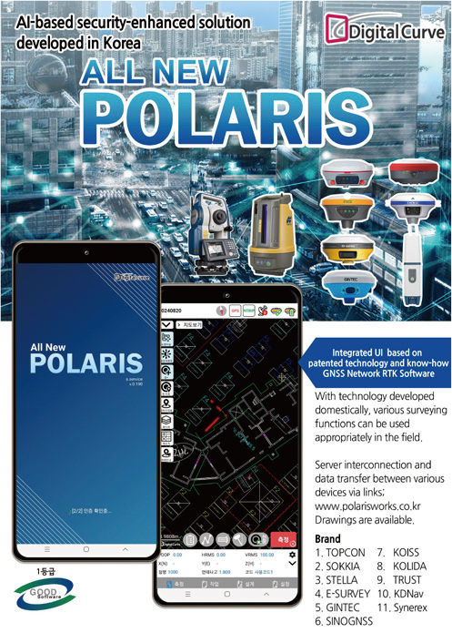
Polaris AN is a high-precision surveying service platform that supports precise elevation surveying using various geoid models. Using Geographic Information System (GIS)-based coordinate conversion technology, the software precisely matches online maps and DXF design drawings on one single screen.
Furthermore, Polaris AN’s DXF parser and format-conversion tools simplify the creation, editing, and conversion of drawings. The application also provides offline maps and user layer functions for use in environments without Internet access. It supports high-precision positioning surveying using real time kinematic (RTK) technology.

Digitalcurve provides the technological foundation for generating new business revenue by leveraging high-precision surveying platforms, AI image processing technology, precision measuring equipment, and a high-capacity mobile service platform across various IT fields. The company is steadily advancing toward its venture legend through continuous new technology development and the internalization of core technologies, thereby achieving technological innovation and growth.
Digitalcurve has rapidly risen to the top position in Korea by developing “Polaris,” a precision-surveying service; “FIS Drone,” a forestry survey, surveillance, and fire modeling service; DCCAD (for apps and web) developed with Korea’s leading algorithms; “SurvWiseBD,” an innovative and powerful software service in the Korean shipbuilding surveying industry; “SpearMint,” a drone flight solution specialized in LiDAR-based surveying; and “OrangeMeter,” an automated displacement measurement monitoring service.

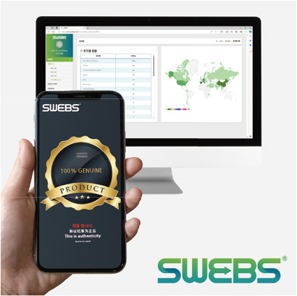
korean-electronics.com | Blog Magazine of korean electronics, brands and Goods