[INQ. NO. 2404E12] Narma Inc. is the first spin-off company of the Korea Aerospace Research Institute (KARI).
With the tilt-rotor technology of KARI, Narma has developed the world’s first electric dual tilt-rotor drone, and succeeded in its commercialization.
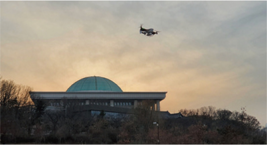
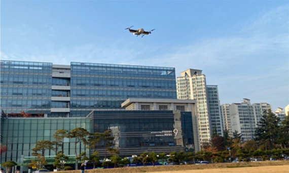
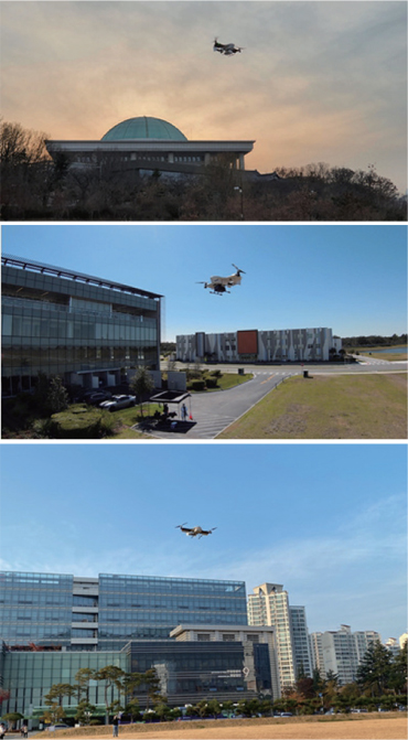
Established in 2018, Narma has focused on R&D for three years, and since 2021 has conducted demo flights through various national projects.
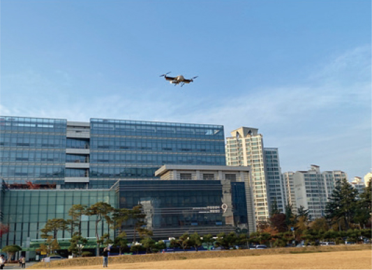
Narma was able to stabilize drones using data collected through demo flights in these projects, and in 2022 made its first overseas sales. Its goal this year is to expand business into the U.S. market.
Based on the demo flight data conducted in this way, Narma developed more stable drones and achieved its first overseas exports in 2022. During this year, Narma plans to establish a branch in the United States and conduct demo flights, with the goal of advancing into the U.S. market.

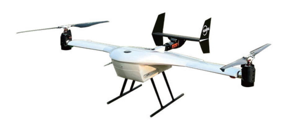
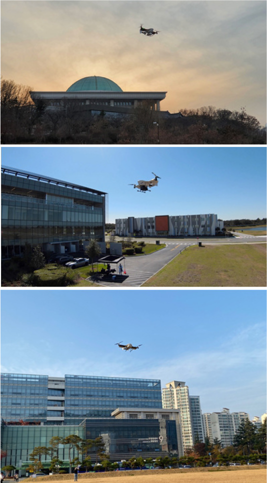
Capable of vertical take-off and landing
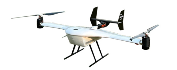
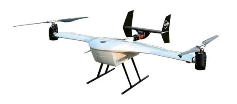
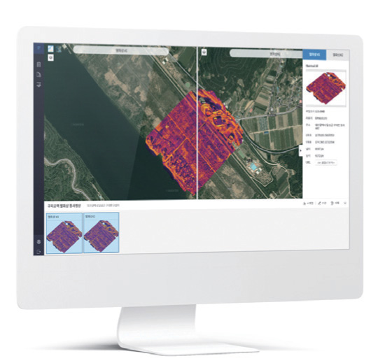
Narma’s world’s first electric small tiltrotor drone, AF200, is capable of vertical take-off and landing, and can fly like an airplane after tilting the rotor in the air.
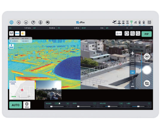
It is thus capable of high-speed flight (up to 120 km/h) and long-distance flight by using the lift of the wings. Based on these advantages, it can be considered as a very suitable drone for delivery and surveillance.
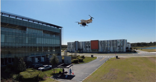
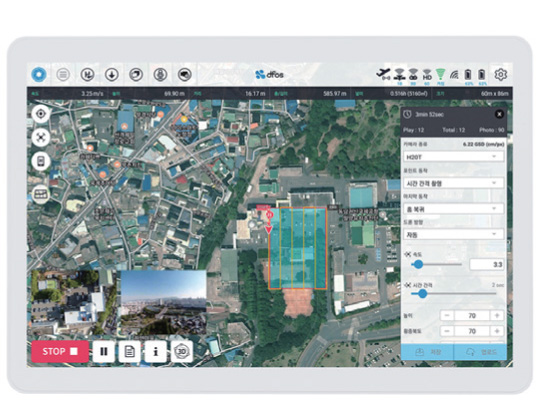
The AF200 can fly for up to 40 minutes and a distance of 40 kilometers with a payload of 5kg. Items can be safely delivered using three types of drop system developed by Narma. Starting with the Tongyeong-Saryangdo blood delivery business, stability and functionality have been proven through various government tasks.
In 2022, through a sandbox project supported by the Korea Institute of Aviation Safety and Technology, Narma has carried out a medication delivery drone project, operating a delivery shuttle drone between Chungnam National University Hospital and Konkuk University Hospital.

korean-electronics.com | Blog Magazine of korean electronics, brands and Goods